Clear, Actionable Aerial Data For Demanding Projects
PRECISION FROM ABOVE,
RESULTS ON THE GROUND
Professional drone survey, 2D & 3D mapping, and inspection services for developers, engineers, utilities, and government agencies across the Phoenix metro area & beyond.
PRECISION FROM ABOVE,
RESULTS ON THE GROUND
Professional drone survey, 2D & 3D mapping, and inspection services for developers, engineers, utilities, and government agencies across the Phoenix metro area & beyond.


Experience and innovation go hand in hand at AIM. Before we ever launched a drone, we spent over 30 years delivering expert measurement solutions for industries where failure simply isn’t an option. That attention to detail now elevates every flight, bringing consistent excellence from advanced metrology into dynamic aerial projects.
- Led by a legacy in advanced programming and inspection
- CMM, GD&T, and aerospace-grade programming know-how behind every project
- Solutions adapted for Phoenix’s fast pace and unique environment
WE ARE
MISSION READY
MISSON READY
MISSON READY
MISSON READY
MISSON READY
MISSON READY
SERVICES
SOLUTIONS THAT GO FURTHER
Airborne Imaging & Measurement helps Phoenix-area construction, energy, and infrastructure teams see every project with clarity and confidence. We know the terrain, move faster into hard-to-reach areas, and arrive fully equipped for demanding site conditions. Powered by the highest quality, NDAA-compliant drone systems, your sites are captured as precise, actionable data instead of guesswork.
2D & 3D MAPPING
PHOTOGRAMMETRY
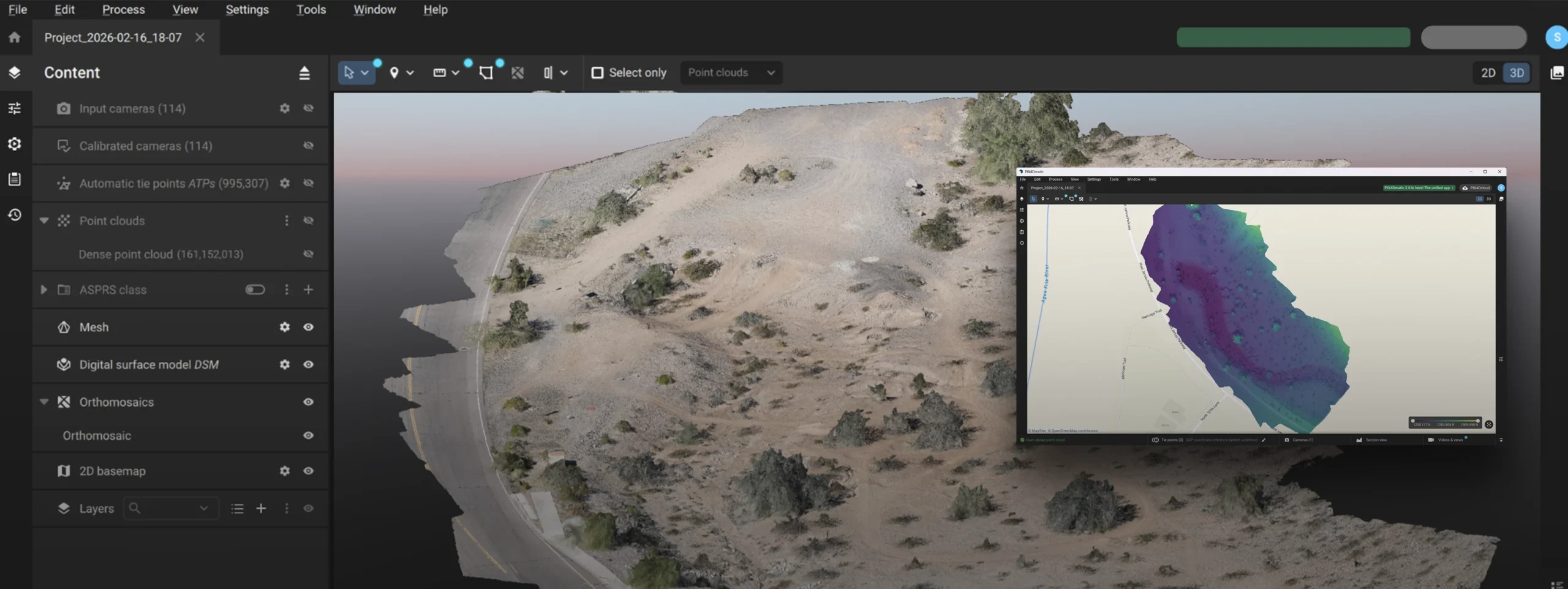
We create high‑accuracy, RTK‑enabled georeferenced site maps and 2D/3D models for projects all over Phoenix and the Southwest. The data supports precise engineering, planning, and design while keeping every team aligned on one verified source of truth. It’s time to get a clearer view, give us a call and see the difference precision can make!
POWER SYSTEMS
INSPECTION + THERMOGRAPHY
From transmission lines and substations to critical power assets across the Southwest, we use high‑resolution visual and thermal imaging to spot hotspots and defects before they cause outages. This helps teams prioritize maintenance, improve reliability, and unlock substantial cost savings. Ask us about predictive analysis as well.
SITE SAFETY &
PROGRESS MONITORING
See jobsite conditions clearly and keep stakeholders informed with regular aerial updates. Our precise drone data helps teams monitor progress, spot potential issues early, and maintain safer, more organized worksites from start to finish.
VOLUMETRIC
MEASUREMENT
Capture fast, precise stockpile and earthwork volumes for construction and mining sites throughout Phoenix, Scottsdale, Tempe and more, reducing guesswork and supporting confident cost and material decisions.
TOPOGRAPHIC
SURVEYS
Create detailed orthomosaics and Digital Surface Models (DSMs), supporting grading, drainage, and civil design with dependable elevation data. Get in touch with our team to discuss a tailored solution for your project.
ASSET
INSPECTION
View, assess, and document hard-to-reach infrastructure with safe, efficient aerial inspections that support risk mitigation, maintenance planning, and regulatory compliance.
WHY WORK
WITH US?
CERTIFIED & FIELD-READY
LICENSED PILOTS YOU CAN TRUST
Every mission is flown by FAA Part 107 certified remote pilots who understand airspace, regulations, and on-site safety protocols. Your crew, assets, and schedule stay protected while we capture the aerial data your project depends on. We never outsource our pilots. Each one is a full-time employee committed to safety, professionalism, and consistent results.
From pre-flight planning to post-flight documentation, every step follows strict FAA guidelines designed for active construction and industrial environments.

NDAA-COMPLIANT DRONE SYSTEMS
SECURE, RELIABLE HARDWARE FOR CRITICAL WORK
At Airborne Imaging & Measurement, we operate only top-tier, fully NDAA-compliant drone systems made in the USA and chosen for their reliability and performance on complex or regulated projects.
Every image and dataset is captured with 61-megapixel commercial-grade cameras to deliver exceptional accuracy and detail for mapping, inspection, analysis and more. All workflows run on secure, supported platforms to keep your data protected and dependable over time.
This approach allows government, infrastructure, and enterprise teams to use drone data with confidence while meeting strict internal and regulatory standards.

HOW WE WORK WITH YOU
From pre-flight planning to final deliverables, here is what it looks like to work with us.

PROCESS DRIVEN
A PROVEN FLIGHT PLAN FOR EVERY PROJECT
Each project starts with structured mission planning, risk assessment, and on-site coordination with your team. The result is safer flights, cleaner data, and minimal disruption to active work zones.
FROM FLIGHTS TO FILES
DATA DELIVERED IN THE FORMATS YOUR TEAM USES
Whether you need DSMs, 3D models, or volume reports, deliverables are packaged to fit seamlessly into your existing workflows and platforms. Your team spends less time managing files and more time acting on the insights. We then deliver the results to your dashboard, with notifications sent when they are ready.
GETTING STARTED IS SIMPLE
BOOK YOUR FREE CONSULT
Quick form. Fast reply. Or call us at 480.999.2989